
The Bureau of Meteorology and NSW State Emergency Service (NSW SES) launched their summer storm campaign in Penrith on Tuesday.
They are urging residents to be prepared and have a plan in place ahead of storm season, which runs from September to March.
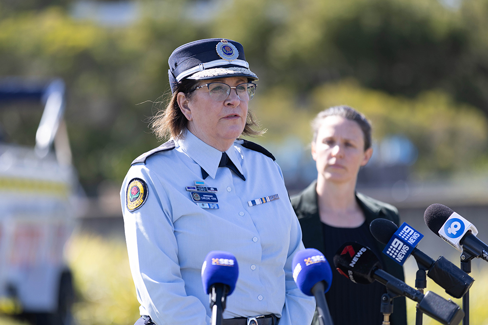
At Penrith Whitewater Stadium, NSW SES Commissioner Carlene York said the NSW SES is ready and able to respond to storm activity this spring and summer.
“The NSW SES and Bureau of Meteorology recently signed a five-year partnership agreement that results in dedicated meteorology and hydrology services embedded within the NSW SES,” she said.
“These roles provide direct access to decision support for all severe weather warnings from the Bureau as well as the ability to run and analyse flood modelling on any catchment at any time.
“This partnership with the Bureau puts NSW SES in a strong position to plan, prepare and respond to this year’s severe weather season and spring flood risks.”
Last storm season, NSW SES volunteers responded to more than 14,000 storm-related jobs across the state.
Now, they are warning people that the threat of increased storm activity remains, even though this year’s weather forecast is set to bring dry and hot conditions.
Bureau of Meteorology Senior Hydrologist Ailsa Schofield said we are trending towards El Niño.
The long-range forecast shows that NSW can expect much less rainfall than last year, and there is also a very high chance of daytime maximum and overnight minimum temperatures being higher than usual.
She said there is currently a cold front moving through the state, but we can expect an average but normal storm season.
“We’re expecting hotter days and hotter nights and drier than average conditions,” she said.
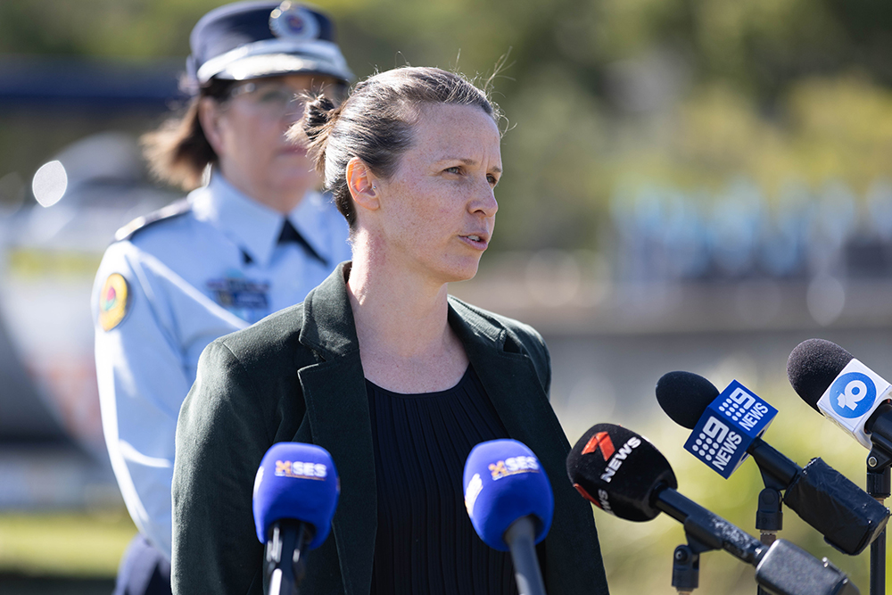
“We also are seeing a movement towards a positive Indian Ocean Dipole and with both of those together it means we can see a stronger drying occurring.
“The long range forecast is showing we’re likely to see drying conditions with less rainfall and hotter temperatures moving into spring and potentially into summer.
“This is the peak storm season where we’re likely to see severe weather which includes strong winds, heavy rainfall that could potentially lead to flash flooding and large hail.”
To stay up to date with the latest alerts, download the Hazards Near Me app.
Makayla Muscat
Formerly with the ABC, Makayla is a graduate of Western Sydney University. She covers a variety of news topics for the Weekender, including courts.